
See your land like never before
Problems We Solve
Drainage & Flooding: Tired of "guesswork" when it comes to runoff? Our Topographic Analysis identifies exact elevation changes, helping you plan French drains, culverts, or landscaping to stop water from pooling near your foundation.
Boundary & Fence Planning: Planning a new fence or outbuilding? Our orthomosaic maps provide a clear visual overlay of your property lines, helping you visualize your project before the first post is driven.
The "Invisible" Property: For those with large acreage or wooded lots, it’s impossible to see the whole picture. We uncover hidden features, overgrown trails, and potential safety hazards you can’t see from the porch.
Hunting & Wildlife Management
Strategic Scouting: Identify pinch points, bedding areas, and natural funnels without ever stepping foot in the woods and spreading human scent.
Food Plot Planning: Use our maps to measure exact acreage for food plots, ensuring you buy the right amount of seed and fertilizer every time.
Thermal Animal Surveys: (If applicable) Spot deer populations or track invasive species like coyotes with thermal imaging, providing a clear "headcount" of the wildlife on your land.
Trail System Design: Map out the most efficient routes for ATVs or foot travel to reach your stands quietly.
Property Planning & Landscaping
Strategic Scouting: Identify pinch points, bedding areas, and natural funnels without ever stepping foot in the woods and spreading human scent.
Garden & Orchard Layout: Visualize sun exposure and slope to find the perfect spot for your next garden or fruit grove.
Construction Documentation: If you’re building a pool, deck, or barn, we provide "Before, During, and After" imagery that is invaluable for insurance, permits, and personal memories.
Estate Management: Provide your landscapers, excavators, or foresters with a high-res map so everyone is working from the same "Ground Truth."
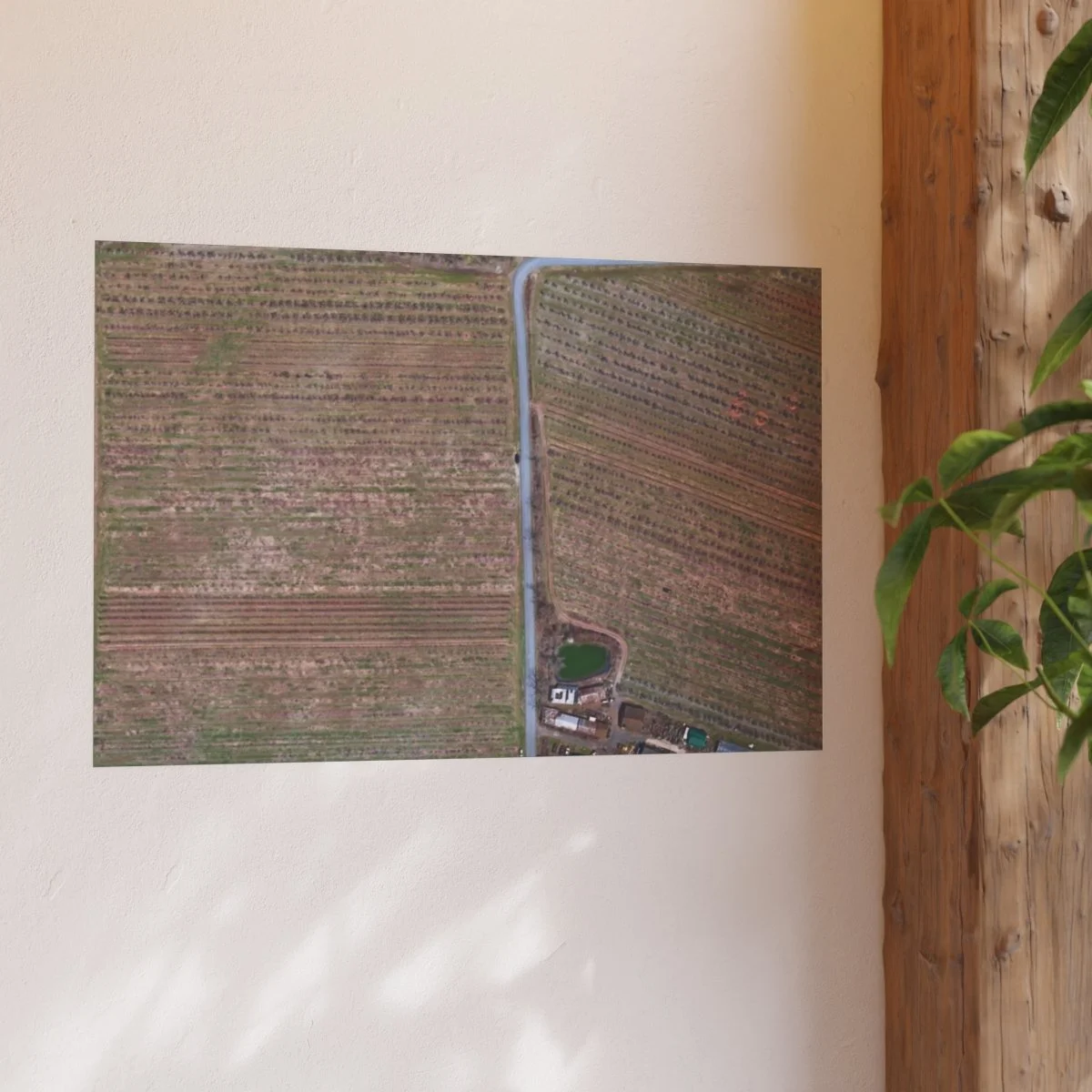
We offer prints and maps
shipped to you
Seasonal Interest: Your Land in Every Light
Properties in the Northeast change dramatically with the seasons. We offer Seasonal Progression Packages to capture the unique beauty and utility of your land throughout the year:.
Spring: Perfect for drainage analysis and identifying "wet spots" before the growing season.
Summer: Full-canopy beauty shots—ideal for large-format wall art and canvas prints.
Fall: Capture the stunning Lehigh Valley foliage from a perspective no one else has.
Winter: The best time for Topographic Mapping. With the leaves gone, our sensors can see the "bare earth," providing the most accurate elevation data possible for your property planning..
See the difference and clarity our services offer
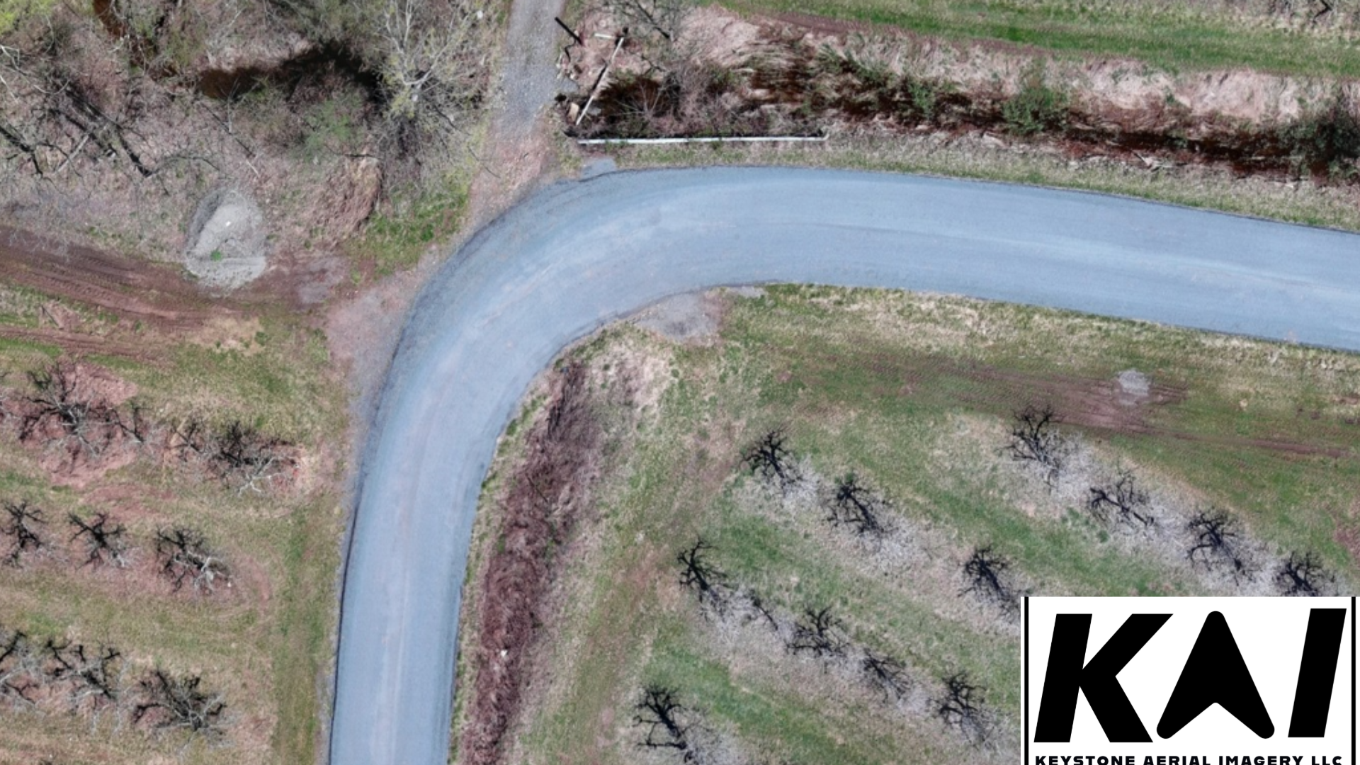
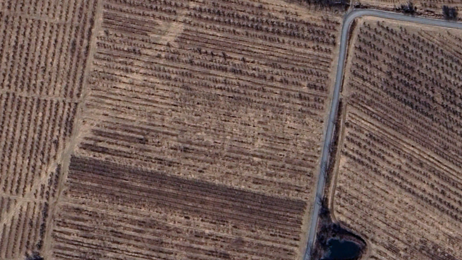
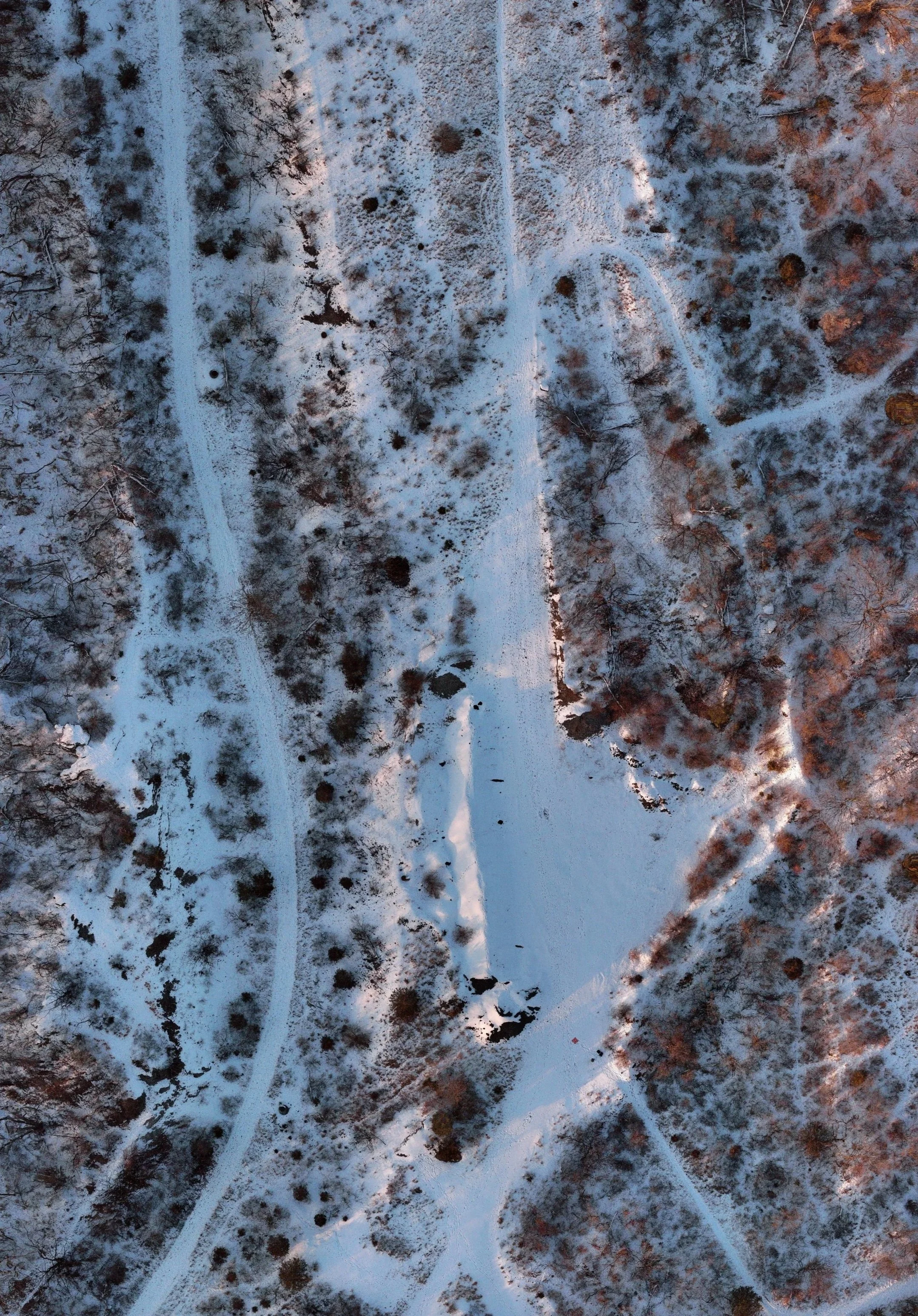
A sample map image produced by us vs.
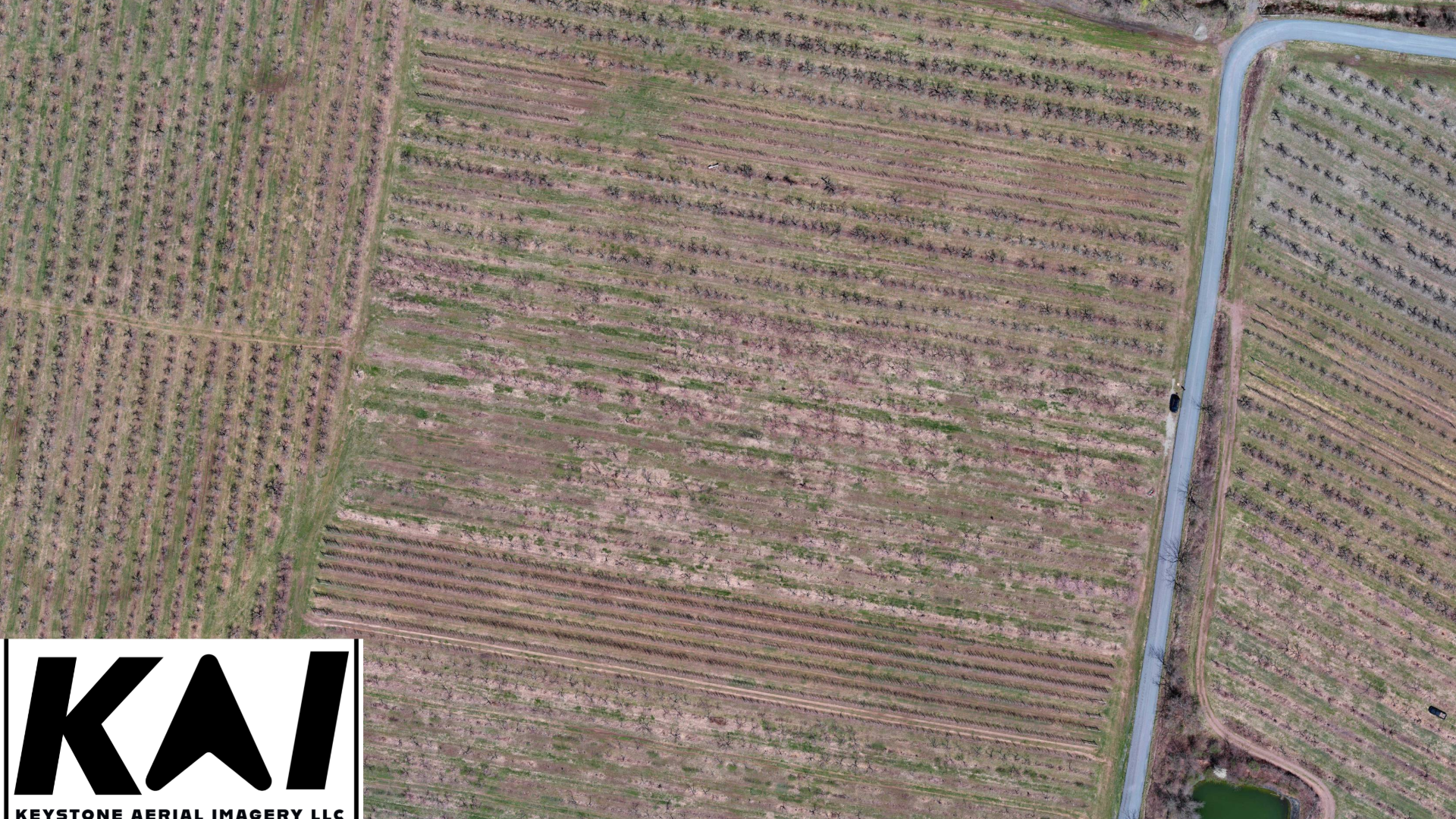
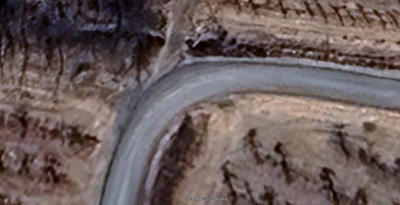
Notice the clarity of our image on when zoomed in compared to standard satellite maps
Sample image from satellite google imagery
Professional Drone Mapping Services in PA, NY and NJ
Using drones to create maps using photogrammetry provides valuable information for your land use project. Maps we create provide aerial imagery that is higher resolution, current, and accurate compared to standard satellite imagery. High resolution maps are valuable in industries such as agriculture, infrastructure, and environmental conservation and restoration. If you are a land owner and would like a high resolution map of your land in its current state, we can provide a large file size
2-D Orthomosaic
Orthomosaics are the creation of a high-resolution, georeferenced aerial image where all scale and distortions are corrected. This single, large image is geometrically accurate, acting as a true-to-life base map.
Key Applications
Land use planning
detailed site inspection
pre-construction analysis
tracking job site progress
Environmental monitoring
Floodplane mapping
Vegetation monitoring
Engineering & Design
Our topographic and 3D models provide highly accurate base data for architects and civil engineers, reducing the risk of design errors and accelerating the planning phase.
Safety & Compliance:
Detailed orthomosaic maps and 3D models can be used to plan safer access routes, identify potential hazards, and provide documentation for insurance or regulatory purposes.

Progress Tracking
By flying the same site over time, we create time-lapsed data overlays that clearly show changes, allowing project managers to quickly identify delays, confirm contractor work, and ensure milestones are met.
Resource Management:
Precise volumetric calculations enable you to track inventory levels of aggregates, soil, or other materials with maximum confidence, optimizing procurement and sales.
Data Deliverables
The following items and file types can be provided
Orthomosaic map: .GeoTIFF, .KMZ
Point cloud: .LAS. LAZ
3D Mesh Model: .OBJ, .FBX
Digital Surface Model (DSM):TIF
Our Landowner Services
-
Digital file delivery of High resolution map
Starting at $350 for up to 10 Acres
10-30 acres $450
30-60 acres $550
60+ contact for quote
-
Digital file delivery of High resolution map
Printed map $80 for 36”x24” or 40”x30”
Custom sizes, and finishes available for additional cost
Starting at $350 for up to 10 Acres
10-30 acres $450
30-60 acres $550
60+ contact for quote
-
Digital file delivery of High resolution map
Digital file delivery of Topo Map
Printed map $70 for 36”x24” or 40”x30”
Custom sizes, and finishes available for additional cost
Printed Topo map $70 for 36”x24” or 40”x30”
Custom sizes, and finishes available for additional cost
Starting at $400 for up to 10 Acres
10-30 acres $500
30-60 acres $600
60+ contact for quote
Pricing is within 1 hour drive time of Bethlehem, PA. For further distance, $30 per 30 minutes of drive time will be added